RECOMMENDED
BUSINESS IN KERALA


For More Details Please Visit their Page CLICK HERE FOR DETAILS

For More Details Please Visit their Page CLICK HERE FOR DETAILS

For More Details Please Visit their Page CLICK HERE FOR DETAILS

For More Details Please Visit their Page CLICK HERE FOR DETAILS

For More Details Please Visit their Page CLICK HERE FOR DETAILS


For More Details Please Visit their Page CLICK HERE FOR DETAILS

For More Details Please Visit their Page CLICK HERE FOR DETAILS
Local Bodies
Panchayaths, Municipalities, Corporations
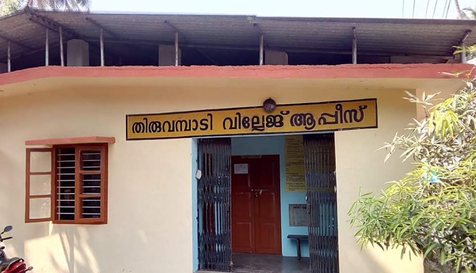
Formation Year - 1962 Area - 83.96 sq km District - Kozhikode Block - Koduvally Nearest Railway Station - Vellayil Railway Station Nearest Airport - Calicut International Airport Nearest City - Calicut
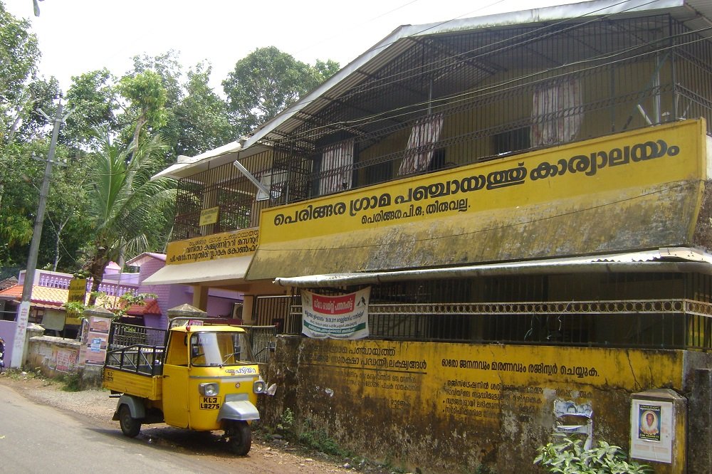
Formation Year - 1953 Area - 19.39 Sq.Km District - Pathanamthitta Block - Pulikeezhu Nearest Railway Station - Chengannur Railway Station Nearest Airport - Trivandrum International Airport (TRV) Nearest City - Pulikeezhu

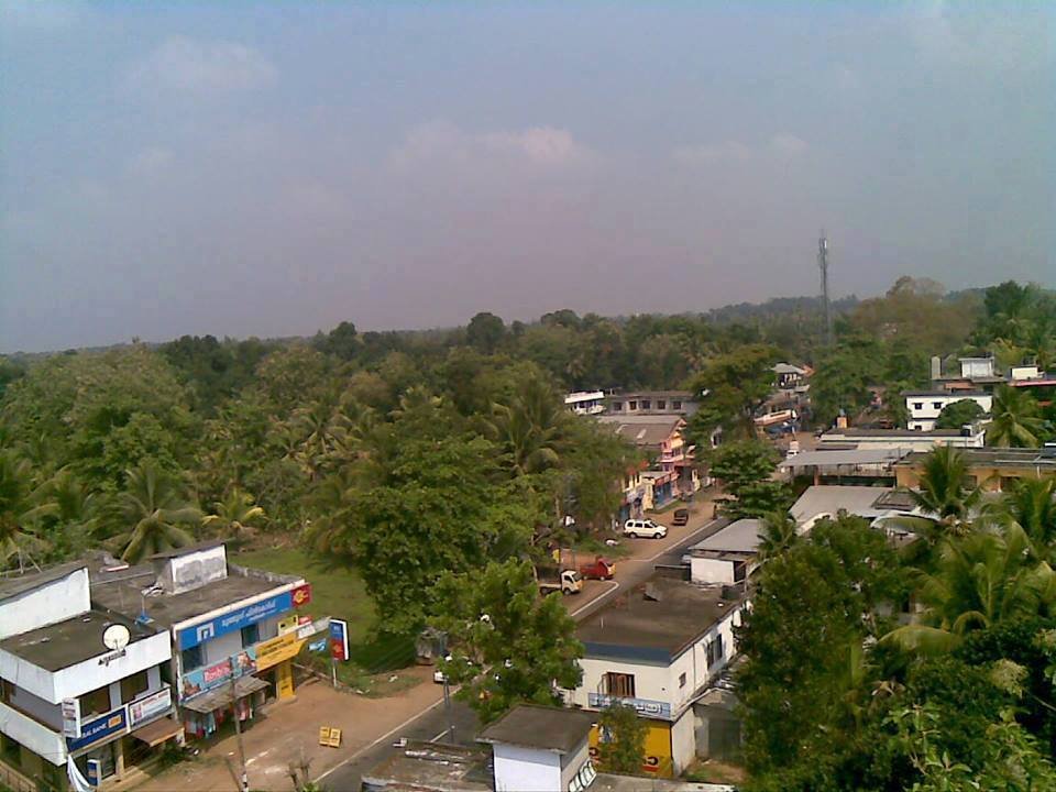
Formation Year - 1989 Area - 17.63 sq km District - Thrissur Block - Chalakudy Nearest Railway Station - Chalakudy Railway Station Nearest Airport - Cochin International Airport (COK) Nearest City - Thrissur
Formation Year - 1952 Area - 12.16 Sq.km District - Pathanamthitta Block - Pulikeezhu Nearest Railway Station - Chengannur Railway Station Nearest Airport - Trivandrum International Airport (TRV) Nearest City - Pulikeezhu